Last modified: 3 October 2026
William Faden (1749–1836) was geographer to King George III and one of the leading cartographers of late 18th and early 19th-century England. He produced three maps relevant to Wandsworth Common: the Country Twenty-Five Miles Round London of 1790, the Topographical Map of the Country Twenty Miles Round London of 1800, and a further edition of 1819. Together they document the Common at a critical period — just before and during the first decades of the enclosure pressures that would define its 19th-century history.
The Country Twenty-Five Miles Round London
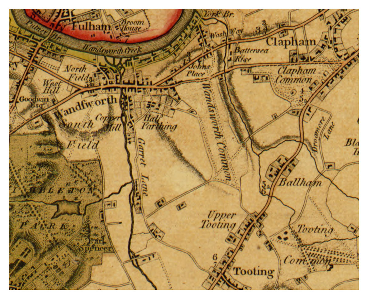
William Faden, The country twenty-five miles round London: planned from a scale of one mile to an inch, 1790. Detail showing Wandsworth Common.
Notes on the 1790 map
[PB: Notice that this map omits the proto-“Trinity Road” entirely, showing instead the north–south road along the Wandsworth–Battersea parish boundary as the principal route across the Common (cf. Rocque and Corris). Why? Online versions at different resolutions at Library of Congress. See also the 2009 redrawing by Andrew Macnair: Faden’s Map of London (1788).]
Topographical Map of the Country Twenty Miles Round London
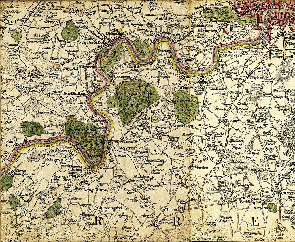
William Faden, Topographical Map of the Country Twenty Miles Round London, 1800. Detail showing Wandsworth Common and surrounds.
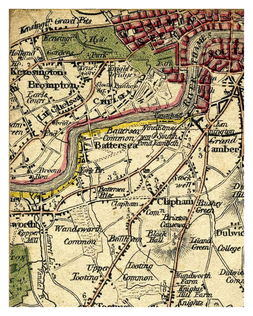
Faden, 1800. Wandsworth Common close-up.
Notes on the 1800 map
Notice the two tributaries of the Falcon Brook — longer and more emphatic than on other Faden maps.
Notice also that the emphatic north–south road across the Common is the one to Battersea, along the parish boundary — not the proto-“Trinity Road” (as shown in e.g. Milne 1800). Why?
[PB: Online versions at different resolutions at Mapco.]
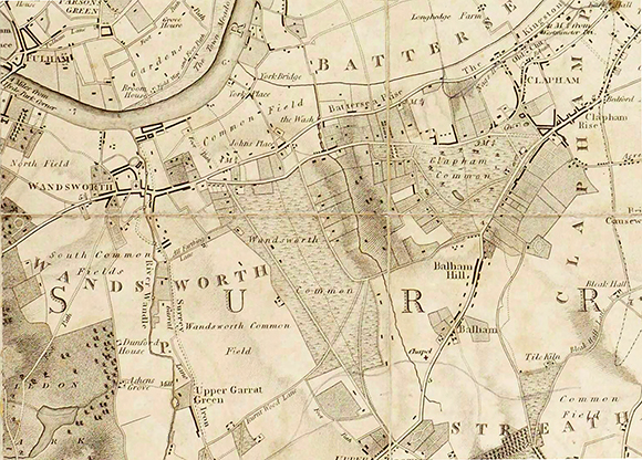
Faden, 1819. Detail showing Wandsworth Common.
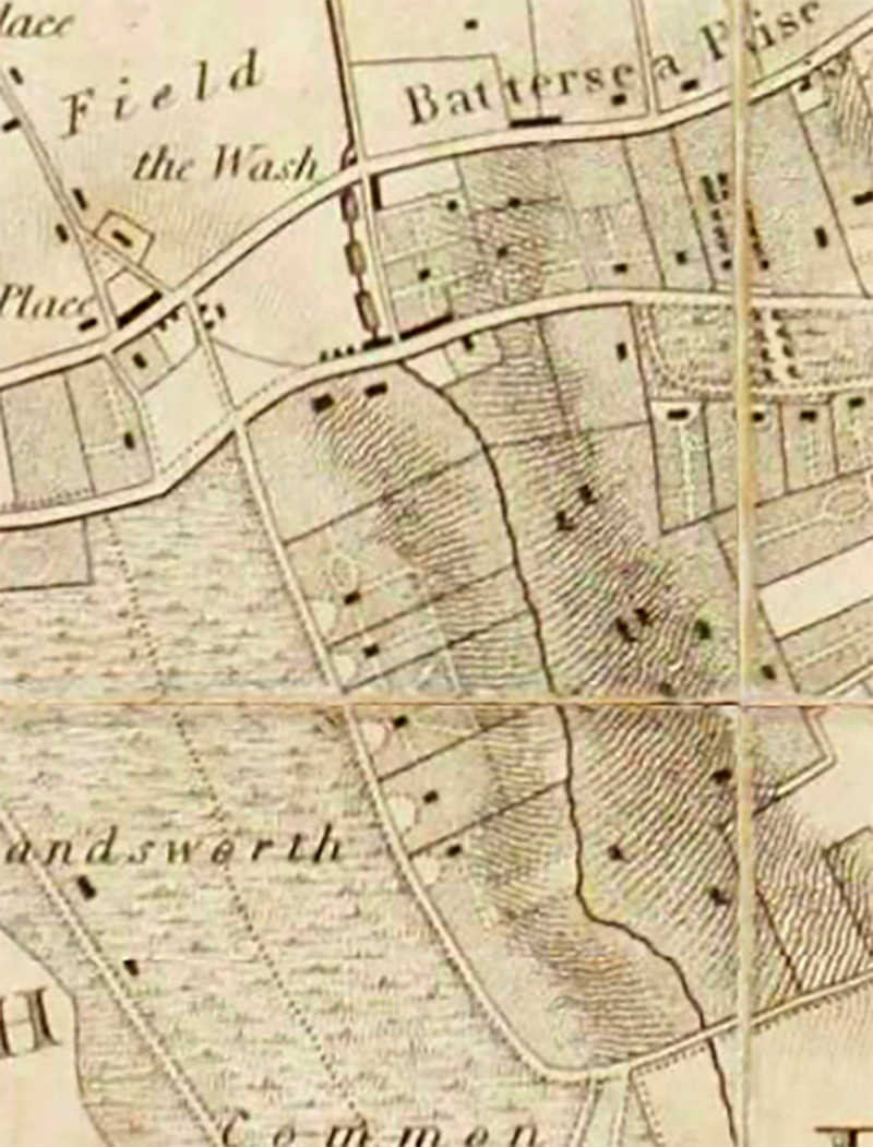
Faden, 1819. Detail showing “Five Houses” — the area now around Bolingbroke Road.
Notes on the 1819 map
Notice “Wandsworth Common Field”. Given that the Common was certainly divided into fields (“closes” etc.), what does this name mean? Does it refer to the open-field strips over which Lammas rights applied, or to the Common itself?
[PB: Add further notes and bibliographic details. Compare road network with 1790 and 1800 editions.]
William Faden (1749–1836) succeeded Thomas Jefferys as Geographer to the King and ran one of the most important map-publishing businesses in late 18th and early 19th-century London. His maps are known for their accuracy and clarity. He retired in 1823, selling his business to James Wyld the Elder.
[PB: Add further biographical notes and links to standard references.]
— Library of Congress: Faden 1790
— Andrew Macnair: Faden’s Map of London (1788 redrawing, 2009)
Part of Wandsworth Common in Maps. Page created June 2026.