Build 1 — 20 Aug 2026
Split out from the Beating Battersea's Bounds, 1862 page, where it was interrupting the flow of the main account.
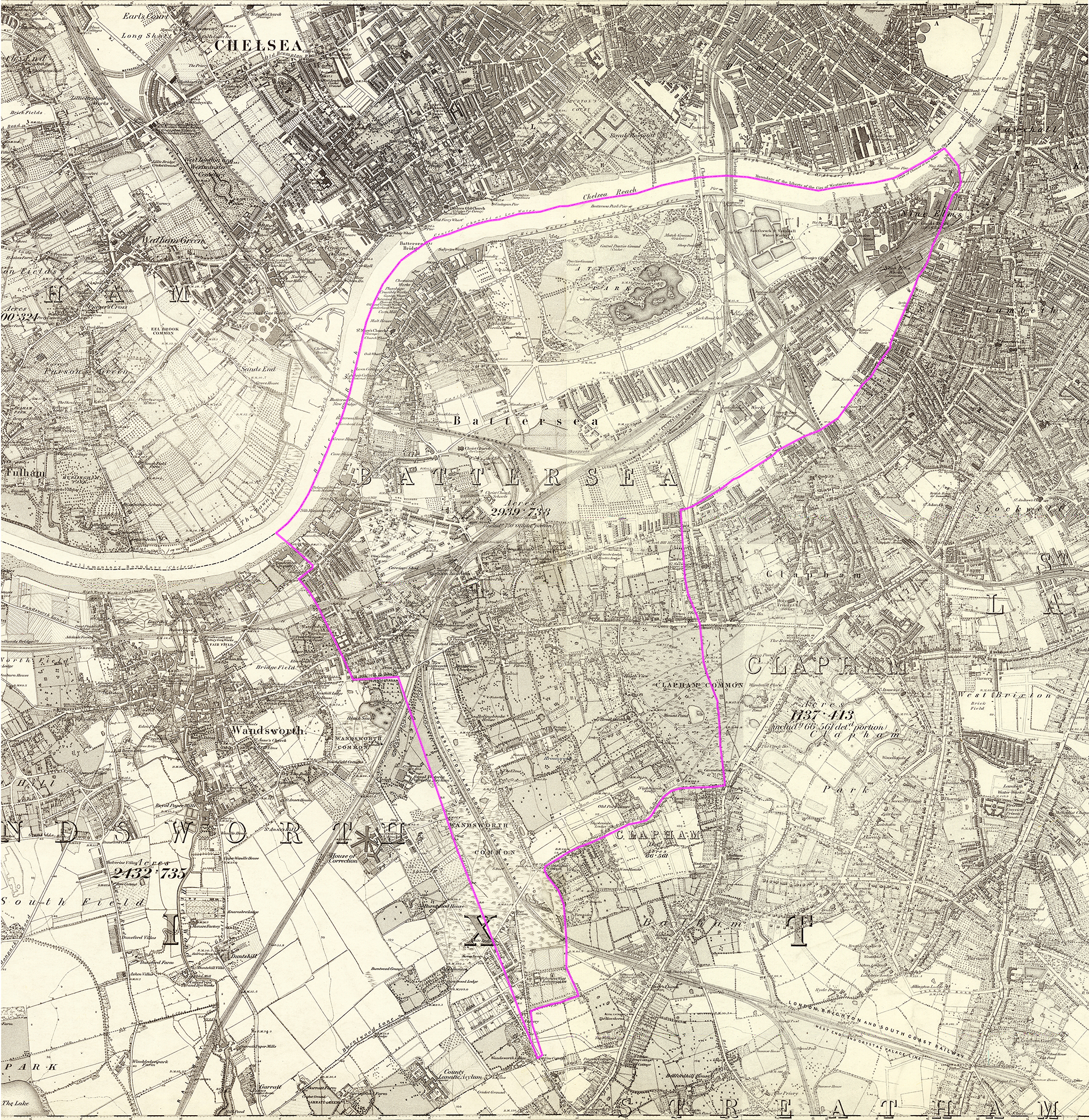
A more detailed view than Stanford's, containing very precise information about the boundary's position with respect to landmarks. [To develop...]
From Angus Winchester, Discovering Parish Boundaries, 1990, pp.35-36:
1. Following watercourses
C.S. — centre of stream
S.S. — side of stream
S.D. — side of drain
2. Following roads
C.R. — centre of road
3. Following field boundaries
S.F. — side of fence
F.C. — face of cop (i.e. hedge bank)
R.H. — root of hedge
F.W. — face of wall
C.F. — centre of fence
T.C. — top of cop
C.W. — centre of wall
4. Across open land
Def. — defaced [means follows the line of a feature that used to be present but has now been lost e.g. an old fence, wall, hedgerow, drain, stream etc.]
T.S. — track of stream Und. — Undefined
[What do the double dashed lines on sections of the boundary crossing Clapham Common mean? Do they enclose a stream? The remnants of the famous ditch? What do the letters "C.D." alongside these double dashed lines meaning? (SD means Side of Drain, SS means Side of Stream. Could it mean "Centre of Drain"?) And what does the symbol of two open circles joined by a straight line mean - I think it may appear at many? most? all changes from one type of boundary to another - is that what it means? I think so.]
[Interesting comments on Mappa-Mercia site:]
1.22m RH – RH stands for Root of Hedge, and 1.22m equates to exactly 4ft. The boundary is therefore 4ft away from the stem line of the hedge. This unusual convention comes from the presumption that landowners planted hedgerows slightly in from the edge of their land so as to not encroach on their neighbours plots. The distance differs between 3ft and 5ft depending on which parish the land lies within.
Def – This is a “defaced boundary”, meaning that the original feature that the boundary was aligned to no longer exists. This was probably a hedge that was removed when the houses were built. Had the hedge roots not been removed then the boundary would be marked as “Tk H” implying track of hedge.
Und – An “undefined boundary” is one where there was no real-world feature to align the boundary to when it was surveyed.
[Source: When is a boundary not a boundary?.]
← Back to “Beating Battersea’s Bounds, 1862”
Send me an email if you want to comment on anything you've seen or read on the site, or would like to know more about something, or just want to be kept in touch.
Philip Boys (aka "HistoryBoys")